Challenge
Managing forest and conservation properties required up-to-date spatial information that was easy to access for planning, follow-up and reporting.
What we did
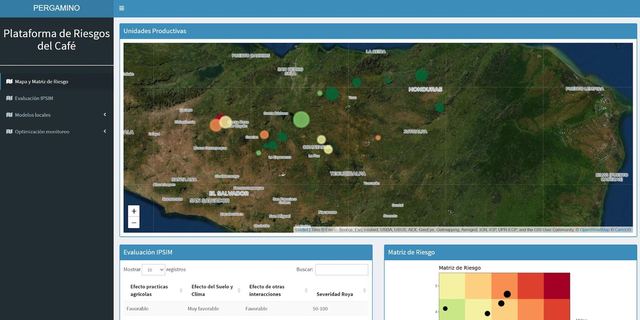
We built ForesTracker, a monitoring platform that brings together geospatial data for managed areas and puts it in the hands of the technical team.
Outcome
Centralized landscape information available for decision-making and for reporting to partners and funders.
Technology
- Web GIS
- Satellite imagery
- Geospatial database
DAP's role. DAP builds and maintains the platform for FUNDECOR.