- Challenge
- Managing forest and conservation properties required up-to-date spatial information that was easy to access for planning, follow-up and reporting.
- Outcome
- Centralized landscape information available for decision-making and for reporting to partners and funders.
Solution 03
Geospatial data, GeoAI and climate
Decisions on forests, water, crops and risk based on up-to-date spatial data.
The problem
Decisions about forests, water, crops and climate risk are made without up-to-date spatial data, or with data nobody can easily access.
What we deliver
Forest and biodiversity monitoring
Platforms showing land-cover change and alerts across the landscape.
Climate information and forecasting
Climate services for farmers, fishers and institutions.
Climate risk for finance
Climate-exposure diagnostics for lending and investment portfolios.
Remote sensing and AI
Satellite imagery analysis with machine-learning models.
Typical measurable outcomes
We agree indicators with you before we start. These are the most common:
Technology and methods
- Satellite imagery
- Cloud satellite analysis
- Web GIS
- Machine learning
- Climate models
Related work
- Challenge
- Financial institutions needed to understand their portfolios' exposure to climate hazards to manage risk and access green finance.
- Outcome
- A climate-exposure diagnostic that supports risk management and conversations with funders.

- Challenge
- Climate information existed but was scattered and hard to use for the people who needed it.
- Outcome
- Simpler access to climate information for sector planning.
FAQ
What people usually ask
What is GeoAI?
It is the use of artificial intelligence with geospatial data, such as satellite imagery and maps, to detect and analyse what is changing in a landscape.
What is satellite forest monitoring for?
It tracks changes in the forests of managed areas and provides up-to-date information for planning and reporting. ForesTracker, with FUNDECOR in Costa Rica, is one example.
What climate information can be integrated?
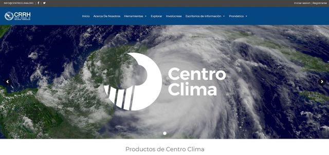
Forecasts, climatologies and hazard data, among others, depending on the decision to support. Centro Clima and Clima Pesca are regional examples.
Next step
What outcome do you need to prove in the next 12 months?
Tell us about your challenge. In a first conversation we'll see whether a diagnostic makes sense for your organization.
Book a diagnostic →